service_category

Drone Services

Drone-based mapping, NDVI, weed detection, spraying and spreading. CASA RePL & ReOC certified.

Drone Mapping & Aerial Survey

RTK-corrected drone surveys producing orthomosaics, elevation models, and boundary outputs accurate enough for earthworks design, drainage, and prescription generation. Over 5,000 hectares of WA broadacre flown.

Read more →
NDVI & Biomass Analysis

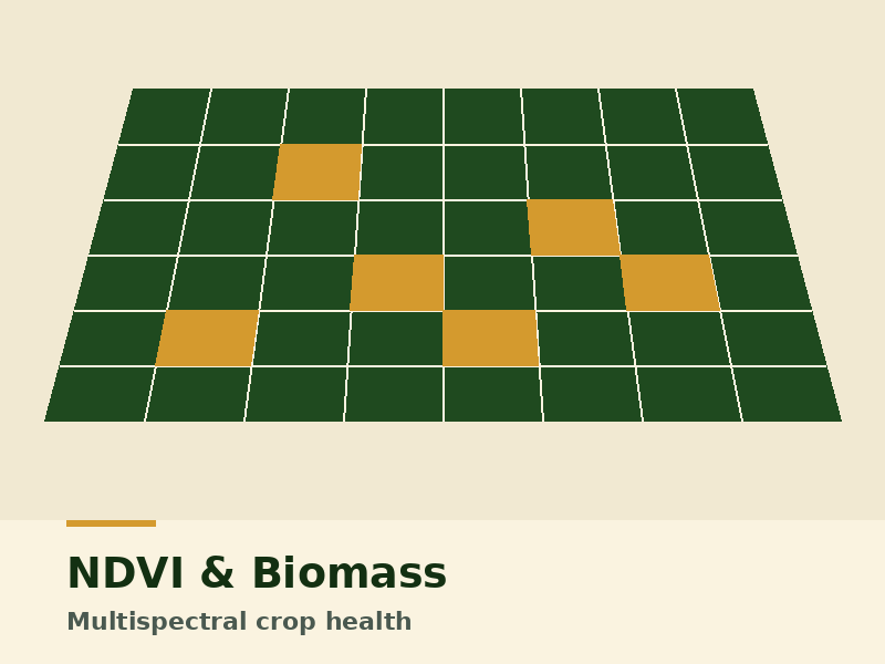
Multispectral NDVI and NDRE imagery for crop health and biomass assessment. Used to inform variable-rate prescriptions, identify problem zones early, and guide agronomy walks.

Read more →

Green-on-Brown Weed Mapping

High-resolution drone imagery for green-on-brown weed mapping in summer fallow. Output is a sprayer-ready shapefile, dropping summer chemical use by 70-90% on typical paddocks.

Read more →

Drone Spraying & Spreading

Targeted drone-based application using DJI Agras T40/T50 platforms — for steep, wet, or otherwise inaccessible ground; for spot-treatment of weed escapes; and for cover crop seeding into standing crops.

Read more →