Tow-behind EM38 and Veris-style EC mapping producing soil texture and salinity zones across the root zone — essential for variable-rate liming, gypsum, and clay delving programs.
Mapping & Data
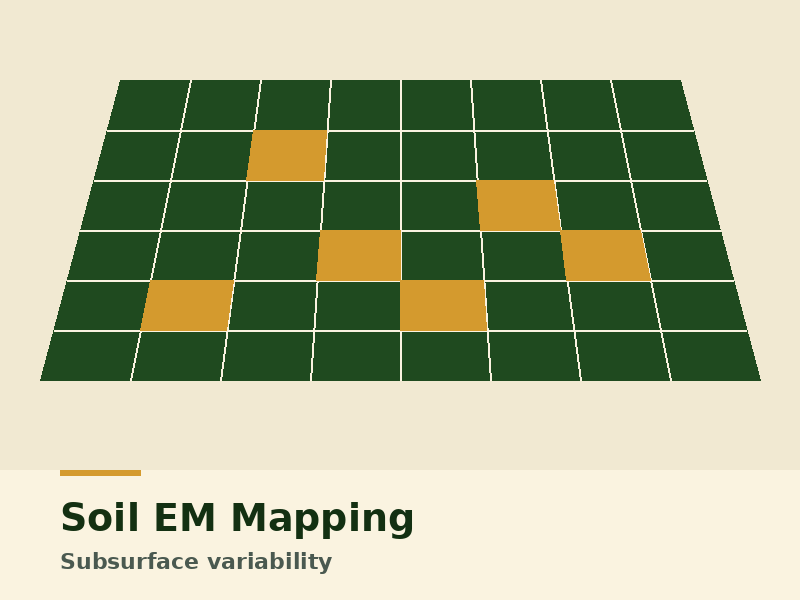
Soil EM Mapping
Subsurface variability, mapped at depth.
Tow-behind EM38 and Veris-style EC mapping producing soil texture and salinity zones across the root zone — essential for variable-rate liming, gypsum, and clay delving programs.
Indicative pricing
From $15/ha · sliding scale by area
Who it's for
Growers planning liming, gypsum, or clay delving programs; agronomists building zone-based prescriptions; growers managing salinity or non-wetting sands.
What you get
- → EM mapping at 0-30cm and 0-90cm depths
- → Geo-referenced rasters in GeoTIFF
- → Management zones (3-5) suitable for VRT prescriptions
- → Delivery in JD Operations Center, AgFiniti, or shapefile
Why us for this
- ✓ Calibrated against soil samples on every job — not just raw conductivity
- ✓ Works alongside our VRT and drone services for a complete zone-based program
- ✓ Field-walk report identifying obvious management responses
Related services